30s Houses on "Whitton Park"
Introduction
The photograph on this page of 30s Houses on "Whitton Park" by Helene as part of the Geograph project.
The Geograph project started in 2005 with the aim of publishing, organising and preserving representative images for every square kilometre of Great Britain, Ireland and the Isle of Man.

There are currently over 7.5m images from over 14,400 individuals and you can help contribute to the project by visiting https://www.geograph.org.uk
30s Houses on "Whitton Park"
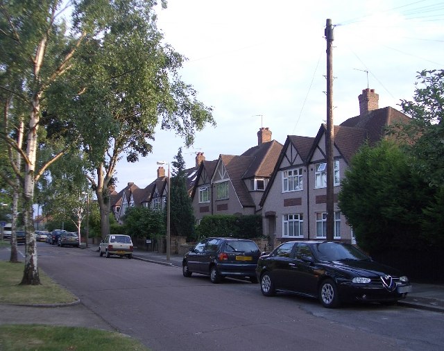
Image: © Helene Taken: 29 Jun 2005
The area is still referred to as Whitton Park. The Houses were built on what used to be Whitton Park and Whitton Park House (the mansion of the Gostling family). Whitton Park House was demolished in 1911 after the estate was sold for development.
Images are licensed for reuse under creativecommons.org/licenses/by-sa/2.0
Image Location
Latitude
51.455332
Longitude
-0.362082