Pair of pre-Worboys signs, Levehurst Way, Stockwell
Introduction
The photograph on this page of Pair of pre-Worboys signs, Levehurst Way, Stockwell by David Howard as part of the Geograph project.
The Geograph project started in 2005 with the aim of publishing, organising and preserving representative images for every square kilometre of Great Britain, Ireland and the Isle of Man.

There are currently over 7.5m images from over 14,400 individuals and you can help contribute to the project by visiting https://www.geograph.org.uk
Pair of pre-Worboys signs, Levehurst Way, Stockwell
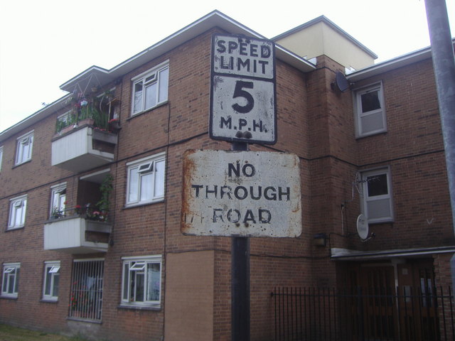
Image: © David Howard Taken: 6 Jul 2009
Until recently at least three Lambeth Council estates still had their pre-Worboys signs in place, luckily I discovered them all before they started removing them around 2010.
Images are licensed for reuse under creativecommons.org/licenses/by-sa/2.0
Image Location
Latitude
51.470869
Longitude
-0.126542