A494 - A548 junction bridges
Introduction
The photograph on this page of A494 - A548 junction bridges by Peter Whatley as part of the Geograph project.
The Geograph project started in 2005 with the aim of publishing, organising and preserving representative images for every square kilometre of Great Britain, Ireland and the Isle of Man.

There are currently over 7.5m images from over 14,400 individuals and you can help contribute to the project by visiting https://www.geograph.org.uk
A494 - A548 junction bridges
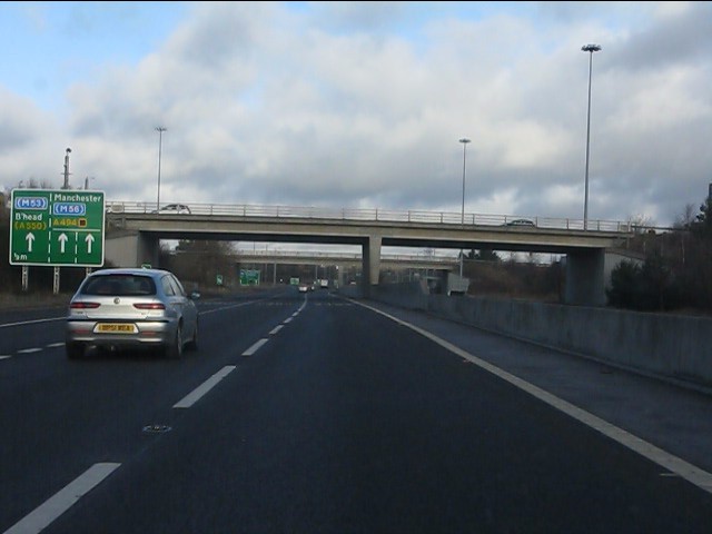
Image: © Peter Whatley Taken: 18 Jan 2011
More odd signage on this route visible on the left. Why is Manchester shown on the top line on one half of the sign, but Birkenhead (B'head) below the M53 symbol?
Images are licensed for reuse under creativecommons.org/licenses/by-sa/2.0
Image Location
Latitude
53.228824
Longitude
-2.994626