The River Ravensbourne at the southern end of Ladywell Fields (5)
Introduction
The photograph on this page of The River Ravensbourne at the southern end of Ladywell Fields (5) by Mike Quinn as part of the Geograph project.
The Geograph project started in 2005 with the aim of publishing, organising and preserving representative images for every square kilometre of Great Britain, Ireland and the Isle of Man.

There are currently over 7.5m images from over 14,400 individuals and you can help contribute to the project by visiting https://www.geograph.org.uk
The River Ravensbourne at the southern end of Ladywell Fields (5)
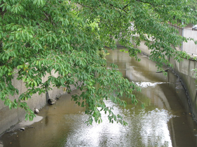
Image: © Mike Quinn Taken: 5 Aug 2009
The River Ravensbourne formerly ran along the eastern edge of the park, hidden behind railings and dense vegetation. The concrete channel is still there in places, but new meanders have been created, running some of the water through the middle of the park - see http://www.therrc.co.uk/case_studies/ladywell_fields.pdf.
Images are licensed for reuse under creativecommons.org/licenses/by-sa/2.0
Image Location
Latitude
51.446191
Longitude
-0.026081