2011 : View west at the foot of Scratchbury Hill
Introduction
The photograph on this page of 2011 : View west at the foot of Scratchbury Hill by Maurice Pullin as part of the Geograph project.
The Geograph project started in 2005 with the aim of publishing, organising and preserving representative images for every square kilometre of Great Britain, Ireland and the Isle of Man.

There are currently over 7.5m images from over 14,400 individuals and you can help contribute to the project by visiting https://www.geograph.org.uk
2011 : View west at the foot of Scratchbury Hill
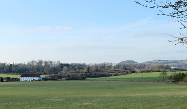
Image: © Maurice Pullin Taken: 30 Jan 2011
Think the white building is an hotel. The railway to Warminster can just be seen to the right of it. Arn Hill Down Image is in the distance to the right, not so obvious from this direction.
Images are licensed for reuse under creativecommons.org/licenses/by-sa/2.0
Image Location
Latitude
51.198197
Longitude
-2.136199