Tottenham Lane
Introduction
The photograph on this page of Tottenham Lane by Martin Addison as part of the Geograph project.
The Geograph project started in 2005 with the aim of publishing, organising and preserving representative images for every square kilometre of Great Britain, Ireland and the Isle of Man.

There are currently over 7.5m images from over 14,400 individuals and you can help contribute to the project by visiting https://www.geograph.org.uk
Tottenham Lane
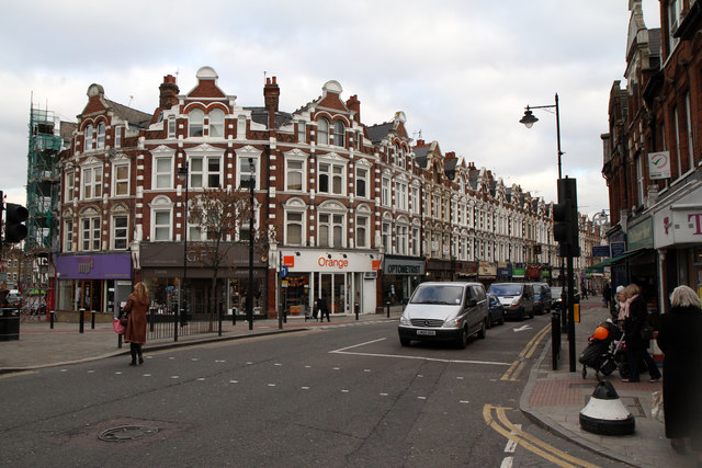
Image: © Martin Addison Taken: 28 Jan 2011
Connects Crouch End Broadway with Hornsey, seen from the junction with Weston Park. Taken around 09:45, the pavements are relatively quiet in this view as many of the shops don't open until 10:00.
Images are licensed for reuse under creativecommons.org/licenses/by-sa/2.0
Image Location
Latitude
51.58034
Longitude
-0.122909