Navigation House, Risca
Introduction
The photograph on this page of Navigation House, Risca by Jaggery as part of the Geograph project.
The Geograph project started in 2005 with the aim of publishing, organising and preserving representative images for every square kilometre of Great Britain, Ireland and the Isle of Man.

There are currently over 7.5m images from over 14,400 individuals and you can help contribute to the project by visiting https://www.geograph.org.uk
Navigation House, Risca
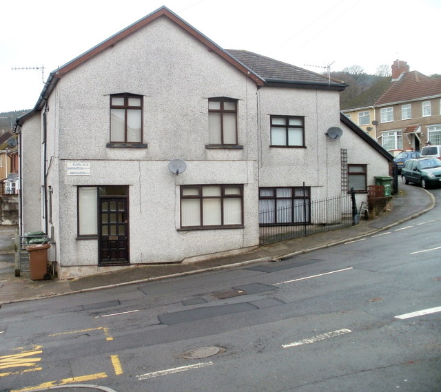
Image: © Jaggery Taken: 17 Jan 2011
Located at the top end of Navigation Road, the building is now divided into 5 flats. It was probably formerly used as canal offices for the nearby Crumlin arm http://www.geograph.org.uk/photo/2238595 of the former Monmouthshire & Brecon canal.
Images are licensed for reuse under creativecommons.org/licenses/by-sa/2.0
Image Location
Latitude
51.61445
Longitude
-3.101919