Park Avenue South
Introduction
The photograph on this page of Park Avenue South by Martin Addison as part of the Geograph project.
The Geograph project started in 2005 with the aim of publishing, organising and preserving representative images for every square kilometre of Great Britain, Ireland and the Isle of Man.

There are currently over 7.5m images from over 14,400 individuals and you can help contribute to the project by visiting https://www.geograph.org.uk
Park Avenue South
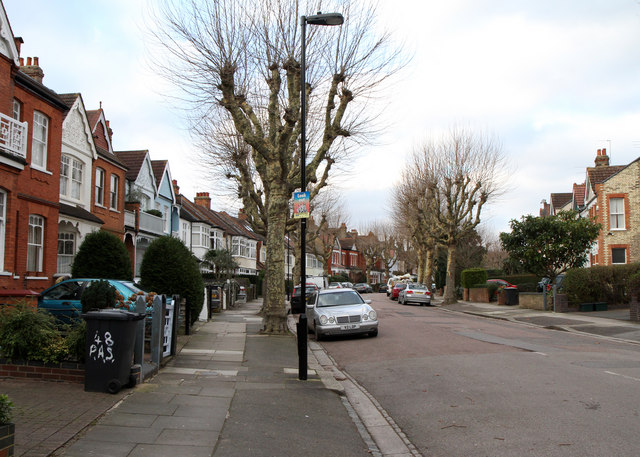
Image: © Martin Addison Taken: 28 Jan 2011
Technically this road is a crescent joining Priory Road with Park Road but its designer put in some extra curves to make it interesting! This section does look like a crescent though. Pollarded Plane trees line the pavements, though it would appear that a few have disappeared over the years.
Images are licensed for reuse under creativecommons.org/licenses/by-sa/2.0
Image Location
Latitude
51.585492
Longitude
-0.130203