Harlow Hill Church
Introduction
The photograph on this page of Harlow Hill Church by peter maddison as part of the Geograph project.
The Geograph project started in 2005 with the aim of publishing, organising and preserving representative images for every square kilometre of Great Britain, Ireland and the Isle of Man.

There are currently over 7.5m images from over 14,400 individuals and you can help contribute to the project by visiting https://www.geograph.org.uk
Harlow Hill Church
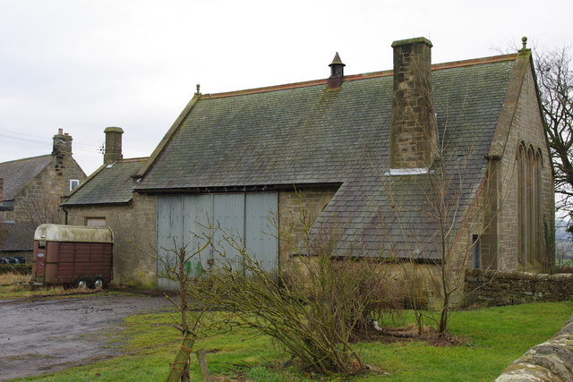
Image: © peter maddison Taken: 30 Jan 2011
Disused church but it is used as a barn Harlow hill is a small village in Northumberland on the B6318 (known locally as the military road) which follows the course of Hadrians Wall.
Images are licensed for reuse under creativecommons.org/licenses/by-sa/2.0
Image Location


Leaflet Map data © OpenStreetMap
Latitude
55.009469
Longitude
-1.878322