Pandora Street, Belfast (1)
Introduction
The photograph on this page of Pandora Street, Belfast (1) by Albert Bridge as part of the Geograph project.
The Geograph project started in 2005 with the aim of publishing, organising and preserving representative images for every square kilometre of Great Britain, Ireland and the Isle of Man.

There are currently over 7.5m images from over 14,400 individuals and you can help contribute to the project by visiting https://www.geograph.org.uk
Pandora Street, Belfast (1)
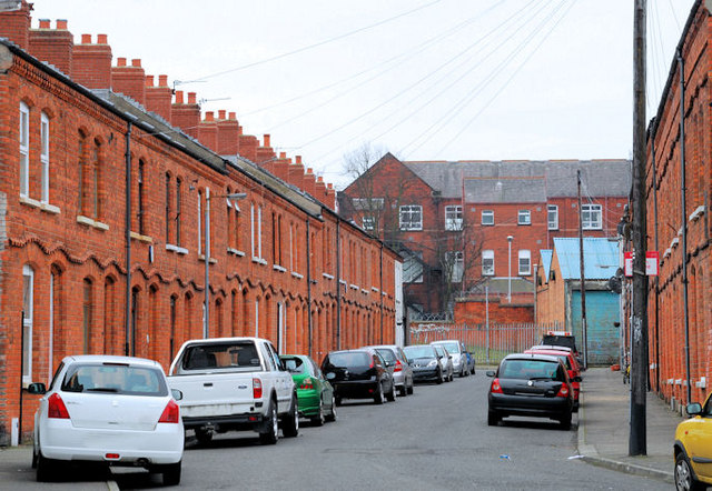
Image: © Albert Bridge Taken: 30 Jan 2011
A street of late 19th century terrace houses off the Donegall Road. The Google map continues to use the spelling “Donegal” (the county) rather than the correct version “Donegall” (after the Marquis upon whose land Belfast was built). Continue to Image
Images are licensed for reuse under creativecommons.org/licenses/by-sa/2.0
Image Location
Latitude
54.588431
Longitude
-5.94615