Wyatt Drive, Harrods Village
Introduction
The photograph on this page of Wyatt Drive, Harrods Village by David Howard as part of the Geograph project.
The Geograph project started in 2005 with the aim of publishing, organising and preserving representative images for every square kilometre of Great Britain, Ireland and the Isle of Man.

There are currently over 7.5m images from over 14,400 individuals and you can help contribute to the project by visiting https://www.geograph.org.uk
Wyatt Drive, Harrods Village
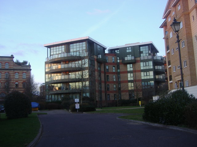
Image: © David Howard Taken: 30 Jan 2011
The building on the left is part of the original Harrods depository, the building on the right is the same style as the new buildings on the estate while the one on the middle and behind it are the only modern style blocks.
Images are licensed for reuse under creativecommons.org/licenses/by-sa/2.0
Image Location
Latitude
51.48343
Longitude
-0.228862