Barn conversion, Arkendale
Introduction
The photograph on this page of Barn conversion, Arkendale by Gordon Hatton as part of the Geograph project.
The Geograph project started in 2005 with the aim of publishing, organising and preserving representative images for every square kilometre of Great Britain, Ireland and the Isle of Man.

There are currently over 7.5m images from over 14,400 individuals and you can help contribute to the project by visiting https://www.geograph.org.uk
Barn conversion, Arkendale
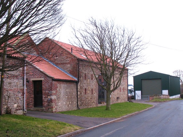
Image: © Gordon Hatton Taken: 30 Jan 2011
One of at least three barn conversions in the village. Note the use of brick, sandstone, limestone and rubble construction materials.
Images are licensed for reuse under creativecommons.org/licenses/by-sa/2.0
Image Location
Latitude
54.040542
Longitude
-1.406873