Fleam Dyke and the footbridge
Introduction
The photograph on this page of Fleam Dyke and the footbridge by John Sutton as part of the Geograph project.
The Geograph project started in 2005 with the aim of publishing, organising and preserving representative images for every square kilometre of Great Britain, Ireland and the Isle of Man.

There are currently over 7.5m images from over 14,400 individuals and you can help contribute to the project by visiting https://www.geograph.org.uk
Fleam Dyke and the footbridge
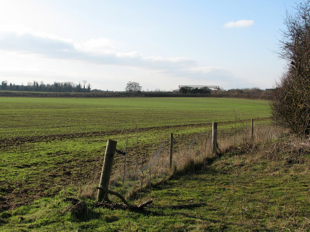
Image: © John Sutton Taken: 28 Jan 2011
The hedge crossing the picture in the middle distance marks Fleam Dyke, a defensive earthwork raised over 150 years from the 5th to the 7th centuries. The byway from which this picture was taken ends at the A11, beside which an indistinct footpath - see Hugh Venables' Image] - leads to the Fleam Dyke footpath and the footbridge over the dual carriageway.
Images are licensed for reuse under creativecommons.org/licenses/by-sa/2.0
Image Location
Latitude
52.163848
Longitude
0.265341