Emergency Access
Introduction
The photograph on this page of Emergency Access by Martin Addison as part of the Geograph project.
The Geograph project started in 2005 with the aim of publishing, organising and preserving representative images for every square kilometre of Great Britain, Ireland and the Isle of Man.

There are currently over 7.5m images from over 14,400 individuals and you can help contribute to the project by visiting https://www.geograph.org.uk
Emergency Access
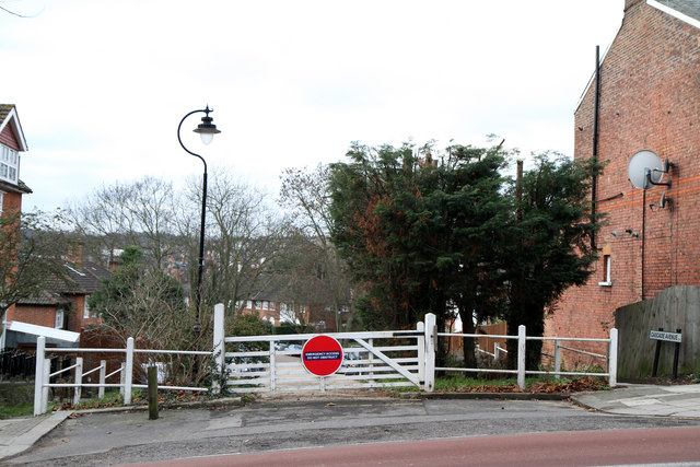
Image: © Martin Addison Taken: 28 Jan 2011
Cascade Avenue is one of three streets near the bottom of Muswell Hill that do not permit access to the hill itself. All connect with Etheldene Avenue at the other end.
Images are licensed for reuse under creativecommons.org/licenses/by-sa/2.0
Image Location


Leaflet Map data © OpenStreetMap
Latitude
51.589197
Longitude
-0.13698