Footpath alongside A472, Pontypool
Introduction
The photograph on this page of Footpath alongside A472, Pontypool by Jaggery as part of the Geograph project.
The Geograph project started in 2005 with the aim of publishing, organising and preserving representative images for every square kilometre of Great Britain, Ireland and the Isle of Man.

There are currently over 7.5m images from over 14,400 individuals and you can help contribute to the project by visiting https://www.geograph.org.uk
Footpath alongside A472, Pontypool
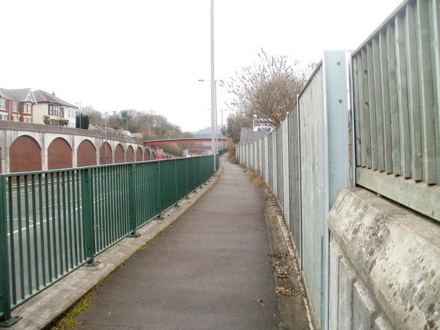
Image: © Jaggery Taken: 26 Jan 2011
The footpath runs from Rockhill Road to Clarence Place. On the far side of the A472 is a long row of bricked-up arches. http://www.geograph.org.uk/photo/2250682
Images are licensed for reuse under creativecommons.org/licenses/by-sa/2.0
Image Location
Latitude
51.697773
Longitude
-3.035936