Six Mile Bottom station house
Introduction
The photograph on this page of Six Mile Bottom station house by John Sutton as part of the Geograph project.
The Geograph project started in 2005 with the aim of publishing, organising and preserving representative images for every square kilometre of Great Britain, Ireland and the Isle of Man.

There are currently over 7.5m images from over 14,400 individuals and you can help contribute to the project by visiting https://www.geograph.org.uk
Six Mile Bottom station house
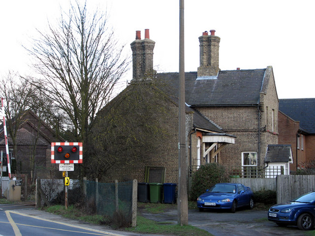
Image: © John Sutton Taken: 28 Jan 2011
Until 1967 Six Mile Bottom was the second stop out of Cambridge on the line to Newmarket, Bury St Edmunds and Ipswich. The two-storey section with porch was originally the station master's house. The whole building is now a private house.
Images are licensed for reuse under creativecommons.org/licenses/by-sa/2.0
Image Location
Latitude
52.18637
Longitude
0.304962