Polzeath towards Trebetherick
Introduction
The photograph on this page of Polzeath towards Trebetherick by William Bartlett as part of the Geograph project.
The Geograph project started in 2005 with the aim of publishing, organising and preserving representative images for every square kilometre of Great Britain, Ireland and the Isle of Man.

There are currently over 7.5m images from over 14,400 individuals and you can help contribute to the project by visiting https://www.geograph.org.uk
Polzeath towards Trebetherick
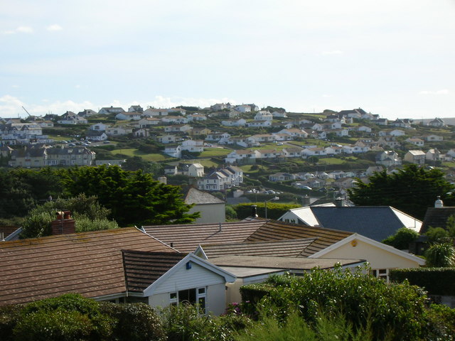
Image: © William Bartlett Taken: 24 Aug 2006
The Oyster Catcher pub is the white building on the far left. You can see the cars in its carpark. There were once mines under this hill but it is now completely built up. Rows of houses face down the hill overlooking Polzeath surfing beach.
Images are licensed for reuse under creativecommons.org/licenses/by-sa/2.0
Image Location


Leaflet Map data © OpenStreetMap
Latitude
50.570453
Longitude
-4.921782