A483 at the bridge over the B5430
Introduction
The photograph on this page of A483 at the bridge over the B5430 by Peter Whatley as part of the Geograph project.
The Geograph project started in 2005 with the aim of publishing, organising and preserving representative images for every square kilometre of Great Britain, Ireland and the Isle of Man.

There are currently over 7.5m images from over 14,400 individuals and you can help contribute to the project by visiting https://www.geograph.org.uk
A483 at the bridge over the B5430
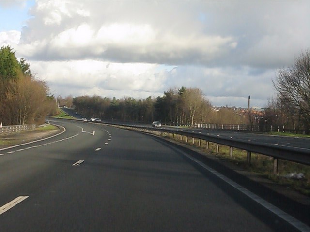
Image: © Peter Whatley Taken: 18 Jan 2011
The northbound exit slip road for the A541 begins to peel off left on the bridge.
Images are licensed for reuse under creativecommons.org/licenses/by-sa/2.0
Image Location
Latitude
53.051753
Longitude
-3.013668