
East Harling tower windmill
Introduction
The photograph on this page of East Harling tower windmill by Evelyn Simak as part of the Geograph project.
The Geograph project started in 2005 with the aim of publishing, organising and preserving representative images for every square kilometre of Great Britain, Ireland and the Isle of Man.

There are currently over 7.5m images from over 14,400 individuals and you can help contribute to the project by visiting https://www.geograph.org.uk
East Harling tower windmill
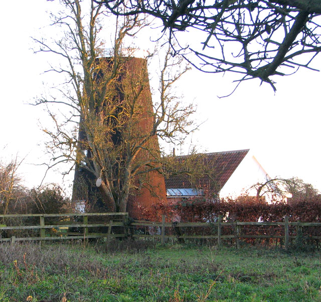
Image: © Evelyn Simak Taken: 28 Jan 2011
The towermill has a 10.50 metres (35 ft) high, four-storey tarred brick tower with two doors on the ground floor. It once had four double-shuttered sails, each with 8 bays of 3 shutters, which powered two pairs of French burr stones. The domed cap was vertically boarded and formed its own petticoat and a rearward extension held a 6-bladed fan. The mill ceased working in 1919 and had become derelict by the 1970s. In 1984 planning permission was granted to convert the mill to residential use.
Images are licensed for reuse under creativecommons.org/licenses/by-sa/2.0
Image Location

Latitude
52.436246
Longitude
0.941689