Path to Cwm Philkins, Pontllanfraith
Introduction
The photograph on this page of Path to Cwm Philkins, Pontllanfraith by Jaggery as part of the Geograph project.
The Geograph project started in 2005 with the aim of publishing, organising and preserving representative images for every square kilometre of Great Britain, Ireland and the Isle of Man.

There are currently over 7.5m images from over 14,400 individuals and you can help contribute to the project by visiting https://www.geograph.org.uk
Path to Cwm Philkins, Pontllanfraith
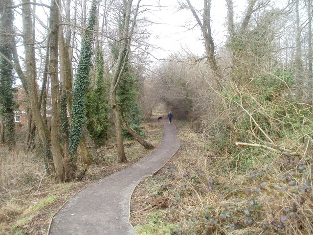
Image: © Jaggery Taken: 23 Jan 2011
Viewed from near the Newbridge Road end, a path heads towards Cwm Philkins, the site of a former Sirhowy Valley colliery. A variant spelling is Filkins.
Images are licensed for reuse under creativecommons.org/licenses/by-sa/2.0
Image Location
Latitude
51.656855
Longitude
-3.179567