Barrow - derelict farmhouse at Broomhill
Introduction
The photograph on this page of Barrow - derelict farmhouse at Broomhill by Mike Harris as part of the Geograph project.
The Geograph project started in 2005 with the aim of publishing, organising and preserving representative images for every square kilometre of Great Britain, Ireland and the Isle of Man.

There are currently over 7.5m images from over 14,400 individuals and you can help contribute to the project by visiting https://www.geograph.org.uk
Barrow - derelict farmhouse at Broomhill
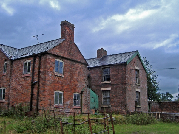
Image: © Mike Harris Taken: 23 Aug 2006
Barrow (Broomhill) - derelict farmhouse off Barnhouse Lane. Outbuildings still used for stock - calf and goat in residence at time of visit.
Images are licensed for reuse under creativecommons.org/licenses/by-sa/2.0
Image Location
Latitude
53.221329
Longitude
-2.78222