Cemetery Lodge, Sittingbourne
Introduction
The photograph on this page of Cemetery Lodge, Sittingbourne by David Anstiss as part of the Geograph project.
The Geograph project started in 2005 with the aim of publishing, organising and preserving representative images for every square kilometre of Great Britain, Ireland and the Isle of Man.

There are currently over 7.5m images from over 14,400 individuals and you can help contribute to the project by visiting https://www.geograph.org.uk
Cemetery Lodge, Sittingbourne
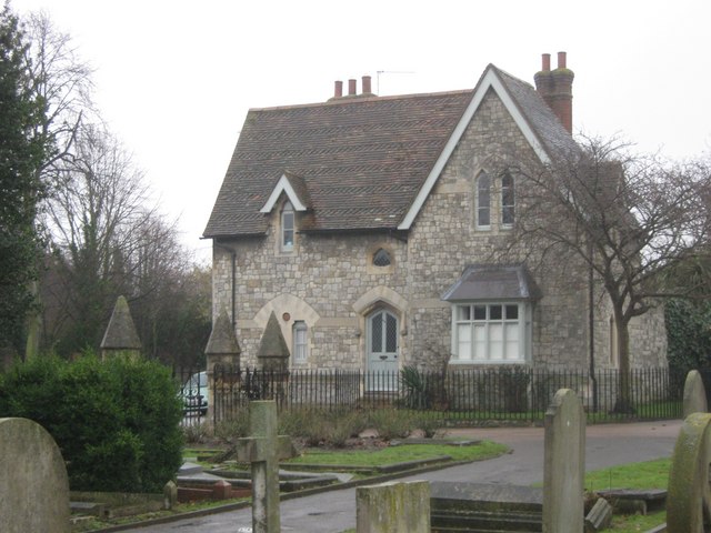
Image: © David Anstiss Taken: 26 Jan 2011
Grade II Listed Lodge of Sittingbourne Cemetery on Bell Road. Also Known as 46, Bell Road. See http://www.britishlistedbuildings.co.uk/en-175710-46-sittingbourne for more details about the building.
Images are licensed for reuse under creativecommons.org/licenses/by-sa/2.0
Image Location
Latitude
51.33442
Longitude
0.734321