A5 (A483) at Pentre Aaron
Introduction
The photograph on this page of A5 (A483) at Pentre Aaron by Peter Whatley as part of the Geograph project.
The Geograph project started in 2005 with the aim of publishing, organising and preserving representative images for every square kilometre of Great Britain, Ireland and the Isle of Man.

There are currently over 7.5m images from over 14,400 individuals and you can help contribute to the project by visiting https://www.geograph.org.uk
A5 (A483) at Pentre Aaron
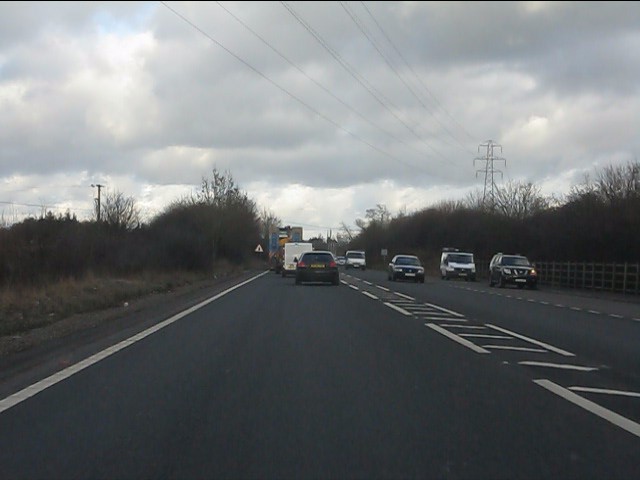
Image: © Peter Whatley Taken: 18 Jan 2011
The road shadows the gridsquare line very closely hereabouts, but higher scales indicate that it stays in SJ2935.
Images are licensed for reuse under creativecommons.org/licenses/by-sa/2.0
Image Location
Latitude
52.90875
Longitude
-3.042444