Shavington cum Gresty Village Hall
Introduction
The photograph on this page of Shavington cum Gresty Village Hall by Richard Dorrell as part of the Geograph project.
The Geograph project started in 2005 with the aim of publishing, organising and preserving representative images for every square kilometre of Great Britain, Ireland and the Isle of Man.

There are currently over 7.5m images from over 14,400 individuals and you can help contribute to the project by visiting https://www.geograph.org.uk
Shavington cum Gresty Village Hall
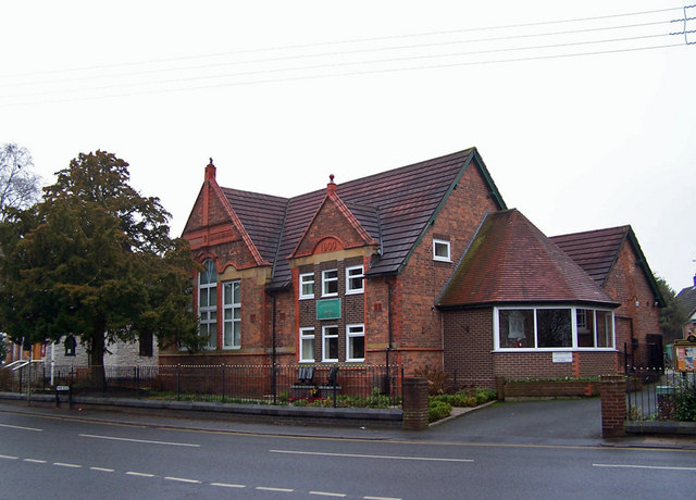
Image: © Richard Dorrell Taken: 22 Jan 2011
Located in Main Road. The building is dated 1900.
Images are licensed for reuse under creativecommons.org/licenses/by-sa/2.0
Image Location
Latitude
53.062597
Longitude
-2.448813