Westry Corner, Barrowby
Introduction
The photograph on this page of Westry Corner, Barrowby by Kate Jewell as part of the Geograph project.
The Geograph project started in 2005 with the aim of publishing, organising and preserving representative images for every square kilometre of Great Britain, Ireland and the Isle of Man.

There are currently over 7.5m images from over 14,400 individuals and you can help contribute to the project by visiting https://www.geograph.org.uk
Westry Corner, Barrowby
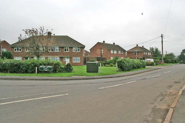
Image: © Kate Jewell Taken: 24 Aug 2006
Once a tiny hamlet, Westry Corner now consists of post WW 2 housing and has been absorbed into Barrowby with little trace of the old community. Note the green street sign. This is typical of Lincolnshire. Photograph taken on the corner of The Drift and Low Road.
Images are licensed for reuse under creativecommons.org/licenses/by-sa/2.0
Image Location
Latitude
52.909581
Longitude
-0.687262