Lodge Avenue, Mortlake
Introduction
The photograph on this page of Lodge Avenue, Mortlake by Marathon as part of the Geograph project.
The Geograph project started in 2005 with the aim of publishing, organising and preserving representative images for every square kilometre of Great Britain, Ireland and the Isle of Man.

There are currently over 7.5m images from over 14,400 individuals and you can help contribute to the project by visiting https://www.geograph.org.uk
Lodge Avenue, Mortlake
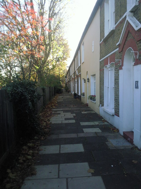
Image: © Marathon Taken: 10 Nov 2010
This little cul-de-sac of terraced houses is immediately west of Old Mortlake Burial Ground which is just over the fence to the left.
Images are licensed for reuse under creativecommons.org/licenses/by-sa/2.0
Image Location
Latitude
51.466974
Longitude
-0.258869