The western end of Stryd Fawr/High Street, Deiniolen
Introduction
The photograph on this page of The western end of Stryd Fawr/High Street, Deiniolen by Eric Jones as part of the Geograph project.
The Geograph project started in 2005 with the aim of publishing, organising and preserving representative images for every square kilometre of Great Britain, Ireland and the Isle of Man.

There are currently over 7.5m images from over 14,400 individuals and you can help contribute to the project by visiting https://www.geograph.org.uk
The western end of Stryd Fawr/High Street, Deiniolen
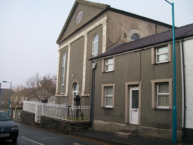
Image: © Eric Jones Taken: 23 Jan 2011
Capel Ebenezer (Capal Eban) is the large building on the right.
Images are licensed for reuse under creativecommons.org/licenses/by-sa/2.0
Image Location
Latitude
53.147377
Longitude
-4.126477