Railway Tavern, Stratford
Introduction
The photograph on this page of Railway Tavern, Stratford by Derek Harper as part of the Geograph project.
The Geograph project started in 2005 with the aim of publishing, organising and preserving representative images for every square kilometre of Great Britain, Ireland and the Isle of Man.

There are currently over 7.5m images from over 14,400 individuals and you can help contribute to the project by visiting https://www.geograph.org.uk
Railway Tavern, Stratford
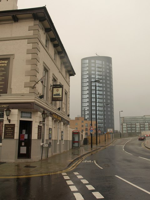
Image: © Derek Harper Taken: 7 Jan 2011
At the corner of Angel Lane and Windmill Lane. Behind is the 19-storey Stratford Eye Tower, also shown in Image
Images are licensed for reuse under creativecommons.org/licenses/by-sa/2.0
Image Location
Latitude
51.544948
Longitude
-4.7E-5