The Old Mill, Gelligroes
Introduction
The photograph on this page of The Old Mill, Gelligroes by Jaggery as part of the Geograph project.
The Geograph project started in 2005 with the aim of publishing, organising and preserving representative images for every square kilometre of Great Britain, Ireland and the Isle of Man.

There are currently over 7.5m images from over 14,400 individuals and you can help contribute to the project by visiting https://www.geograph.org.uk
The Old Mill, Gelligroes
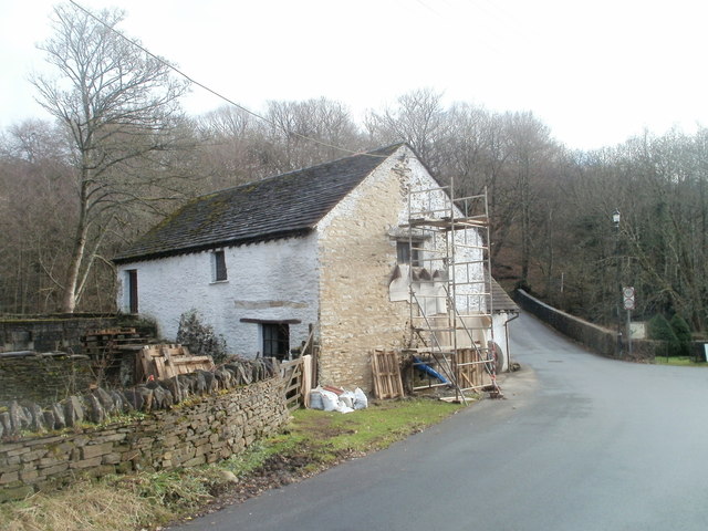
Image: © Jaggery Taken: 23 Jan 2011
Located on the west bank of the Sirhowy River, near the southern edge of Pontllanfraith. Built in the 17th century, the mill ground grain for local crop farmers. It fell into disuse and disrepair, and was derelict by the late 1980s. The mill and adjoining barn were repaired and opened to the public in 1993.
Images are licensed for reuse under creativecommons.org/licenses/by-sa/2.0
Image Location
Latitude
51.645052
Longitude
-3.190823