Middleton-on-the-Wolds, St Andrew's Church
Introduction
The photograph on this page of Middleton-on-the-Wolds, St Andrew's Church by Bill Henderson as part of the Geograph project.
The Geograph project started in 2005 with the aim of publishing, organising and preserving representative images for every square kilometre of Great Britain, Ireland and the Isle of Man.

There are currently over 7.5m images from over 14,400 individuals and you can help contribute to the project by visiting https://www.geograph.org.uk
Middleton-on-the-Wolds, St Andrew's Church
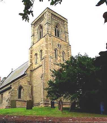
Image: © Bill Henderson Taken: Unknown
This church is almost central in the grid square. It is situated on the south side of the A614 when entering the town from the direction of Driffield.
Images are licensed for reuse under creativecommons.org/licenses/by-sa/2.0
Image Location
Latitude
53.93299
Longitude
-0.560613