Shelter at Pembrey Mountain
Introduction
The photograph on this page of Shelter at Pembrey Mountain by Rose and Trev Clough as part of the Geograph project.
The Geograph project started in 2005 with the aim of publishing, organising and preserving representative images for every square kilometre of Great Britain, Ireland and the Isle of Man.

There are currently over 7.5m images from over 14,400 individuals and you can help contribute to the project by visiting https://www.geograph.org.uk
Shelter at Pembrey Mountain
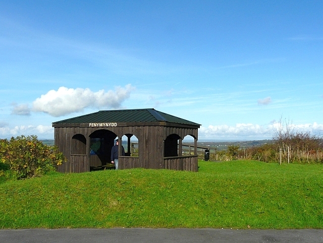
Image: © Rose and Trev Clough Taken: 17 Oct 2008
At the viewing area and picnic site. Maps inside the shelter help to interpret the view.
Images are licensed for reuse under creativecommons.org/licenses/by-sa/2.0
Image Location
Latitude
51.710824
Longitude
-4.240509