Tibbiwell Lane, Painswick
Introduction
The photograph on this page of Tibbiwell Lane, Painswick by Derek Harper as part of the Geograph project.
The Geograph project started in 2005 with the aim of publishing, organising and preserving representative images for every square kilometre of Great Britain, Ireland and the Isle of Man.

There are currently over 7.5m images from over 14,400 individuals and you can help contribute to the project by visiting https://www.geograph.org.uk
Tibbiwell Lane, Painswick
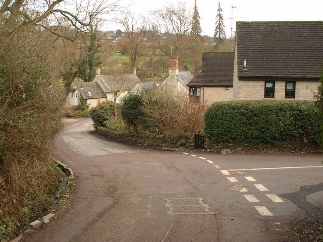
Image: © Derek Harper Taken: 2 Jan 2011
The junction, at the foot of a very steep hill, with Randalls Field (right). The lane then crosses into Image before the right bend. Tibbiwell is a corruption of (St) Tabitha's Well, part way up the hill.
Images are licensed for reuse under creativecommons.org/licenses/by-sa/2.0
Image Location
Latitude
51.784097
Longitude
-2.190002