Kemys Street, Griffithstown, Pontypool
Introduction
The photograph on this page of Kemys Street, Griffithstown, Pontypool by Jaggery as part of the Geograph project.
The Geograph project started in 2005 with the aim of publishing, organising and preserving representative images for every square kilometre of Great Britain, Ireland and the Isle of Man.

There are currently over 7.5m images from over 14,400 individuals and you can help contribute to the project by visiting https://www.geograph.org.uk
Kemys Street, Griffithstown, Pontypool
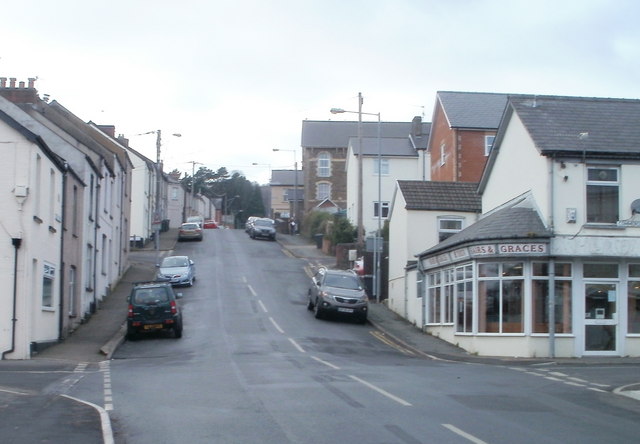
Image: © Jaggery Taken: 21 Jan 2011
Viewed from near canal bridge 49, http://www.geograph.org.uk/photo/2246986 Kemys Street climbs towards Sunnybank Road and Greenhill Road, past turnings for Canal Close (pictured left) and Commercial Street (pictured right).
Images are licensed for reuse under creativecommons.org/licenses/by-sa/2.0
Image Location
Latitude
51.683478
Longitude
-3.025484