Lake south of the A232 west of Farnborough Common
Introduction
The photograph on this page of Lake south of the A232 west of Farnborough Common by Mike Quinn as part of the Geograph project.
The Geograph project started in 2005 with the aim of publishing, organising and preserving representative images for every square kilometre of Great Britain, Ireland and the Isle of Man.

There are currently over 7.5m images from over 14,400 individuals and you can help contribute to the project by visiting https://www.geograph.org.uk
Lake south of the A232 west of Farnborough Common
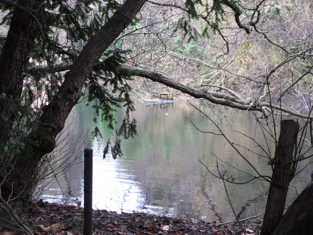
Image: © Mike Quinn Taken: 11 Jan 2011
Water flows northwards into this lake through Ninhams Wood from Image - see the satellite image http://wtp2.appspot.com/wheresthepath.htm?lat=51.361545252210135&lon=0.04677772521972656&gz=15&oz=9>=1. But it is not clear where it flows northwards - possibly into the lake next to The Spinney in TQ4365 - see the satellite image http://wtp2.appspot.com/wheresthepath.htm?lat=51.36977104257854&lon=0.05261421203613281&gz=16&oz=9>=1; this must feed the East Branch of the River Ravensbourne.
Images are licensed for reuse under creativecommons.org/licenses/by-sa/2.0
Image Location
Latitude
51.366615
Longitude
0.047196