The top of Mellor Moor
Introduction
The photograph on this page of The top of Mellor Moor by Bill Boaden as part of the Geograph project.
The Geograph project started in 2005 with the aim of publishing, organising and preserving representative images for every square kilometre of Great Britain, Ireland and the Isle of Man.

There are currently over 7.5m images from over 14,400 individuals and you can help contribute to the project by visiting https://www.geograph.org.uk
The top of Mellor Moor
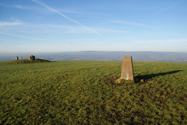
Image: © Bill Boaden Taken: 21 Jan 2011
Over to the left is the site of the nuclear monitoring post. In the distance is the Forest of Bowland, on the other side of the Ribble valley.
Images are licensed for reuse under creativecommons.org/licenses/by-sa/2.0
Image Location
Latitude
53.776629
Longitude
-2.521194