Junction of bridleways and footpaths at Stob House
Introduction
The photograph on this page of Junction of bridleways and footpaths at Stob House by Andrew Curtis as part of the Geograph project.
The Geograph project started in 2005 with the aim of publishing, organising and preserving representative images for every square kilometre of Great Britain, Ireland and the Isle of Man.

There are currently over 7.5m images from over 14,400 individuals and you can help contribute to the project by visiting https://www.geograph.org.uk
Junction of bridleways and footpaths at Stob House
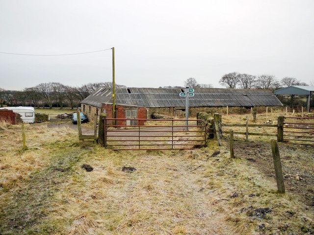
Image: © Andrew Curtis Taken: 7 Jan 2011
The main track running left to right after the gate is the old Stob Waggonway that was part of an extensive system of wooden railed waggonways in the area which served the many coal pits.
Images are licensed for reuse under creativecommons.org/licenses/by-sa/2.0
Image Location
Latitude
54.873858
Longitude
-1.754063