Path east of Dipton
Introduction
The photograph on this page of Path east of Dipton by Andrew Curtis as part of the Geograph project.
The Geograph project started in 2005 with the aim of publishing, organising and preserving representative images for every square kilometre of Great Britain, Ireland and the Isle of Man.

There are currently over 7.5m images from over 14,400 individuals and you can help contribute to the project by visiting https://www.geograph.org.uk
Path east of Dipton
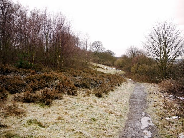
Image: © Andrew Curtis Taken: 7 Jan 2011
The site of Vane Pit is overgrown on the left. This coal mine was opened in 1740.
Images are licensed for reuse under creativecommons.org/licenses/by-sa/2.0
Image Location
Latitude
54.878979
Longitude
-1.753409