St Columb Road
Introduction
The photograph on this page of St Columb Road by Tony Atkin as part of the Geograph project.
The Geograph project started in 2005 with the aim of publishing, organising and preserving representative images for every square kilometre of Great Britain, Ireland and the Isle of Man.

There are currently over 7.5m images from over 14,400 individuals and you can help contribute to the project by visiting https://www.geograph.org.uk
St Columb Road
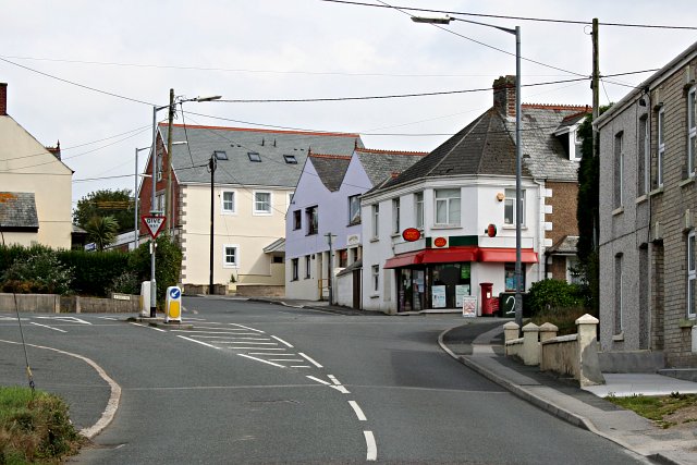
Image: © Tony Atkin Taken: 19 Aug 2006
This photograph shows the road junction which might be regarded as the centre of the village of St Columb Road. I don't actually know how this village got its name but if I was asked to guess I would say that it took its name from the railway station, which implies that the railway came first and the village grew later.
Images are licensed for reuse under creativecommons.org/licenses/by-sa/2.0
Image Location
Latitude
50.395472
Longitude
-4.940555