The Quaggy River aka The Chin Brook, Chinbrook Meadows (3)
Introduction
The photograph on this page of The Quaggy River aka The Chin Brook, Chinbrook Meadows (3) by Mike Quinn as part of the Geograph project.
The Geograph project started in 2005 with the aim of publishing, organising and preserving representative images for every square kilometre of Great Britain, Ireland and the Isle of Man.

There are currently over 7.5m images from over 14,400 individuals and you can help contribute to the project by visiting https://www.geograph.org.uk
The Quaggy River aka The Chin Brook, Chinbrook Meadows (3)
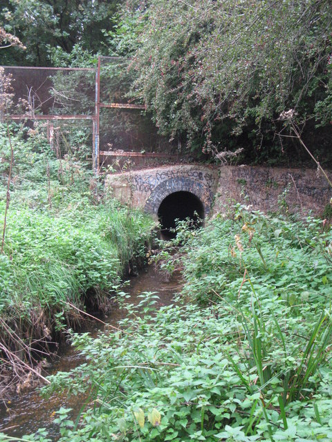
Image: © Mike Quinn Taken: 28 Sep 2010
The stream passes through a tunnel under the railway line. This view is from south of the embankment; Image shows the tunnel portal on the north side.
Images are licensed for reuse under creativecommons.org/licenses/by-sa/2.0
Image Location
Latitude
51.426922
Longitude
0.027464