M6 Motorway at Shraleybrook
Introduction
The photograph on this page of M6 Motorway at Shraleybrook by Peter Whatley as part of the Geograph project.
The Geograph project started in 2005 with the aim of publishing, organising and preserving representative images for every square kilometre of Great Britain, Ireland and the Isle of Man.

There are currently over 7.5m images from over 14,400 individuals and you can help contribute to the project by visiting https://www.geograph.org.uk
M6 Motorway at Shraleybrook
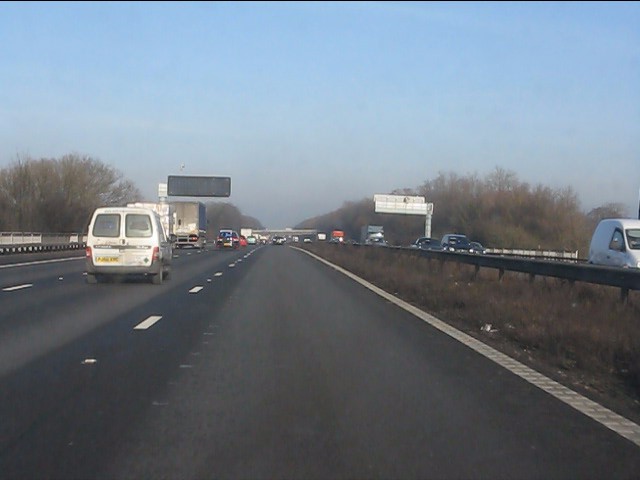
Image: © Peter Whatley Taken: 21 Jan 2011
The motorway is about to cross the minor road which leads west from the village. The structure's parapets can be seen on both carriageways.
Images are licensed for reuse under creativecommons.org/licenses/by-sa/2.0
Image Location
Latitude
53.046535
Longitude
-2.330358