Corrugated iron building, Killyleagh (2011)
Introduction
The photograph on this page of Corrugated iron building, Killyleagh (2011) by Albert Bridge as part of the Geograph project.
The Geograph project started in 2005 with the aim of publishing, organising and preserving representative images for every square kilometre of Great Britain, Ireland and the Isle of Man.

There are currently over 7.5m images from over 14,400 individuals and you can help contribute to the project by visiting https://www.geograph.org.uk
Corrugated iron building, Killyleagh (2011)
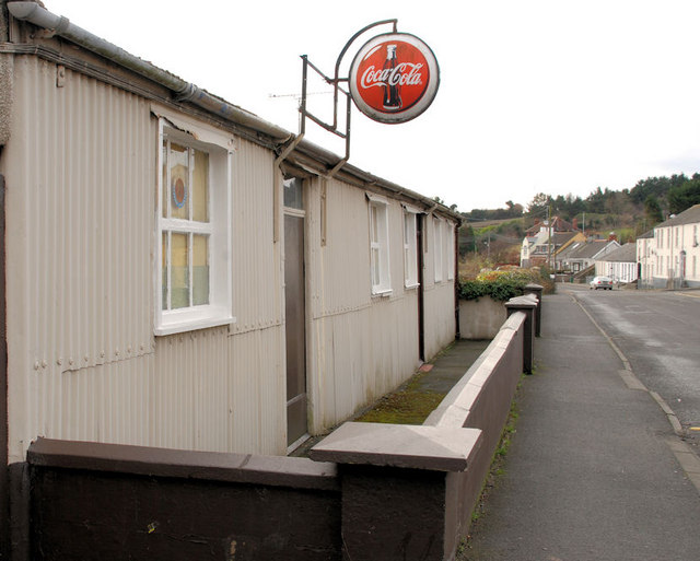
Image: © Albert Bridge Taken: 24 Jan 2011
A building, partly constructed from corrugated iron, at the corner of Shore Street (behind me) and Seaview, offered for sale as a “development opportunity”. See also Image Continue to Image – March 2012.
Images are licensed for reuse under creativecommons.org/licenses/by-sa/2.0
Image Location
Latitude
54.398718
Longitude
-5.648719