Crossroads on the B4338
Introduction
The photograph on this page of Crossroads on the B4338 by Nigel Brown as part of the Geograph project.
The Geograph project started in 2005 with the aim of publishing, organising and preserving representative images for every square kilometre of Great Britain, Ireland and the Isle of Man.

There are currently over 7.5m images from over 14,400 individuals and you can help contribute to the project by visiting https://www.geograph.org.uk
Crossroads on the B4338
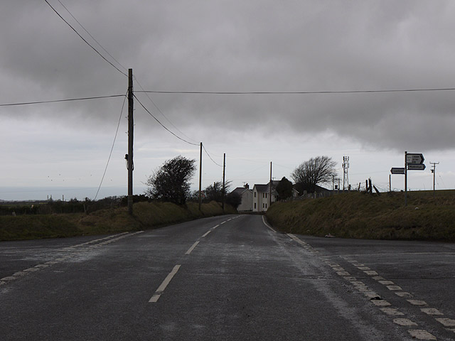
Image: © Nigel Brown Taken: 24 Jan 2011
Where a minor but useful route from the Mydroilyn area connecting with the A486 crosses the B4338. Taken during a brief lull on a mild but rainy January day. The top of the communications mast near Mount Farm can be seen on the right.
Images are licensed for reuse under creativecommons.org/licenses/by-sa/2.0
Image Location
Latitude
52.154188
Longitude
-4.317682