Footpath between Curbridge and Whiteley
Introduction
The photograph on this page of Footpath between Curbridge and Whiteley by Peter Facey as part of the Geograph project.
The Geograph project started in 2005 with the aim of publishing, organising and preserving representative images for every square kilometre of Great Britain, Ireland and the Isle of Man.

There are currently over 7.5m images from over 14,400 individuals and you can help contribute to the project by visiting https://www.geograph.org.uk
Footpath between Curbridge and Whiteley
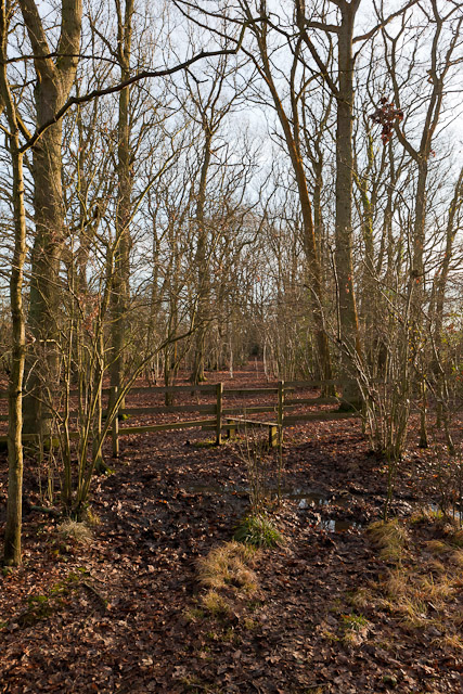
Image: © Peter Facey Taken: 19 Jan 2011
ON the Os 1:50,000 scale map, the footpath seems to be shown somewhat to the east of its actual alignment, which is through a narrow strip of woodland.
Images are licensed for reuse under creativecommons.org/licenses/by-sa/2.0
Image Location
Latitude
50.895088
Longitude
-1.251044