From Grenville Battery
Introduction
The photograph on this page of From Grenville Battery by Kate Jewell as part of the Geograph project.
The Geograph project started in 2005 with the aim of publishing, organising and preserving representative images for every square kilometre of Great Britain, Ireland and the Isle of Man.

There are currently over 7.5m images from over 14,400 individuals and you can help contribute to the project by visiting https://www.geograph.org.uk
From Grenville Battery
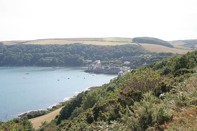
Image: © Kate Jewell Taken: 18 Aug 2006
From the top footpath. The middle footpath runs along the open space in the bottom left of the photograph and the South West Coast path is right by the edge of the sea. This is taken from just below the battery.
Images are licensed for reuse under creativecommons.org/licenses/by-sa/2.0
Image Location


Leaflet Map data © OpenStreetMap
Latitude
50.342573
Longitude
-4.200764