Coldharbour Farm
Introduction
The photograph on this page of Coldharbour Farm by Robin Webster as part of the Geograph project.
The Geograph project started in 2005 with the aim of publishing, organising and preserving representative images for every square kilometre of Great Britain, Ireland and the Isle of Man.

There are currently over 7.5m images from over 14,400 individuals and you can help contribute to the project by visiting https://www.geograph.org.uk
Coldharbour Farm
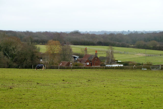
Image: © Robin Webster Taken: 23 Jan 2011
Such a name is a good clue to the possibility of a nearby Roman Road. This is correct here, as the course of the London - south coast road passes nearby to the right, although opinions differ on just how close nearby the local alignment was - both of two postulated alignments may have coexisted.
Images are licensed for reuse under creativecommons.org/licenses/by-sa/2.0
Image Location
Latitude
50.915176
Longitude
-0.159331