Up Sydling: the lane through the hamlet
Introduction
The photograph on this page of Up Sydling: the lane through the hamlet by Chris Downer as part of the Geograph project.
The Geograph project started in 2005 with the aim of publishing, organising and preserving representative images for every square kilometre of Great Britain, Ireland and the Isle of Man.

There are currently over 7.5m images from over 14,400 individuals and you can help contribute to the project by visiting https://www.geograph.org.uk
Up Sydling: the lane through the hamlet
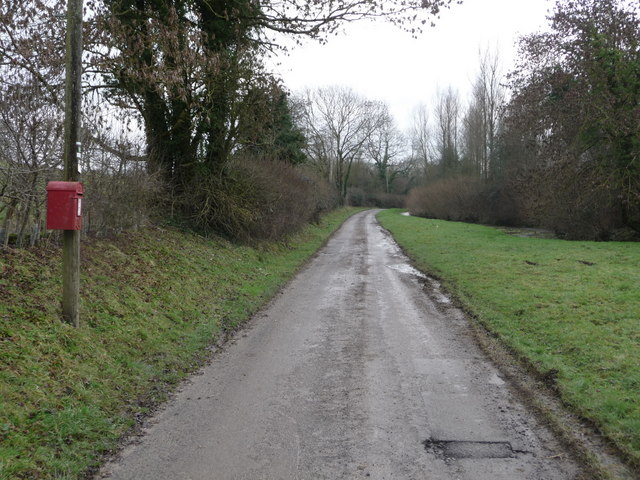
Image: © Chris Downer Taken: 23 Jan 2011
A single-track lane leads into the hamlet of Up Sydling and nowhere else. On the left is Image
Images are licensed for reuse under creativecommons.org/licenses/by-sa/2.0
Image Location


Leaflet Map data © OpenStreetMap
Latitude
50.809867
Longitude
-2.529769