Council Housing - Pickering Road
Introduction
The photograph on this page of Council Housing - Pickering Road by John M as part of the Geograph project.
The Geograph project started in 2005 with the aim of publishing, organising and preserving representative images for every square kilometre of Great Britain, Ireland and the Isle of Man.

There are currently over 7.5m images from over 14,400 individuals and you can help contribute to the project by visiting https://www.geograph.org.uk
Council Housing - Pickering Road
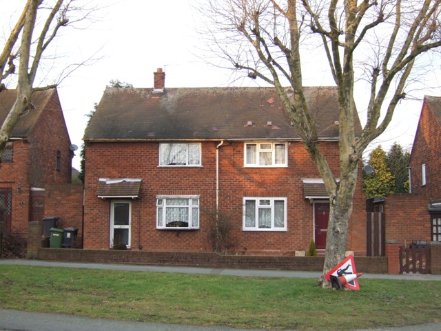
Image: © John M Taken: 22 Jan 2011
The Pickering Road Estate is similar to other Wolverhampton overspill estates built in the mid 1950s in the neighbouring boroughs. The low brick walls are a feature shared with Long Knowle and Ashmore Park Estates.
Images are licensed for reuse under creativecommons.org/licenses/by-sa/2.0
Image Location
Latitude
52.599836
Longitude
-2.075993