Kingley Wood
Introduction
The photograph on this page of Kingley Wood by Glyn Baker as part of the Geograph project.
The Geograph project started in 2005 with the aim of publishing, organising and preserving representative images for every square kilometre of Great Britain, Ireland and the Isle of Man.

There are currently over 7.5m images from over 14,400 individuals and you can help contribute to the project by visiting https://www.geograph.org.uk
Kingley Wood
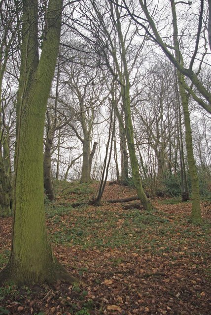
Image: © Glyn Baker Taken: 22 Jan 2011
Sandwiched between a minor millionaire's row and the A127 this fragment of ancient woodland survives on a steep slope that was clearly uneconomic to destroy in decades past. See http://www.wildessex.net/sites/Kingley%20Wood.htm for more info.
Images are licensed for reuse under creativecommons.org/licenses/by-sa/2.0
Image Location


Leaflet Map data © OpenStreetMap
Latitude
51.579594
Longitude
0.587492