Dinghies & Dunes
Introduction
The photograph on this page of Dinghies & Dunes by Glyn Baker as part of the Geograph project.
The Geograph project started in 2005 with the aim of publishing, organising and preserving representative images for every square kilometre of Great Britain, Ireland and the Isle of Man.

There are currently over 7.5m images from over 14,400 individuals and you can help contribute to the project by visiting https://www.geograph.org.uk
Dinghies & Dunes
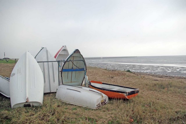
Image: © Glyn Baker Taken: 22 Jan 2011
Behind the dinghies you can see a hint the natural dunes that would have been all around here before the sea defences were built.
Images are licensed for reuse under creativecommons.org/licenses/by-sa/2.0
Image Location


Leaflet Map data © OpenStreetMap
Latitude
51.531753
Longitude
0.802516