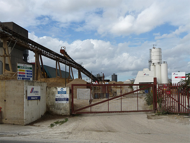
Concrete works, Cringle Street
Introduction
The photograph on this page of Concrete works, Cringle Street by Stephen Richards as part of the Geograph project.
The Geograph project started in 2005 with the aim of publishing, organising and preserving representative images for every square kilometre of Great Britain, Ireland and the Isle of Man.
There are currently over 7.5m images from over 14,400 individuals and you can help contribute to the project by visiting https://www.geograph.org.uk

Image: © Stephen Richards Taken: Unknown
A Cemex Readymix plant, still exploiting the river unlike much else in London. See also: Image Sandwiched between Nine Elms Lane, the power station and the Thames, Cringle Street and environs are a bit of a curiosity, a small relic of a bygone age with their resolutely unglamorous industrial buildings and patches of wasteland. The area's resistance to the tide of gentrification may not, however, last for much longer if a £5.5 billion redevelopment plan centred around the power station proceeds. The first hurdle has been jumped - Wandsworth Council granted planning consent in November 2010. (Update: that scheme collapsed but another one will be along soon.)

